
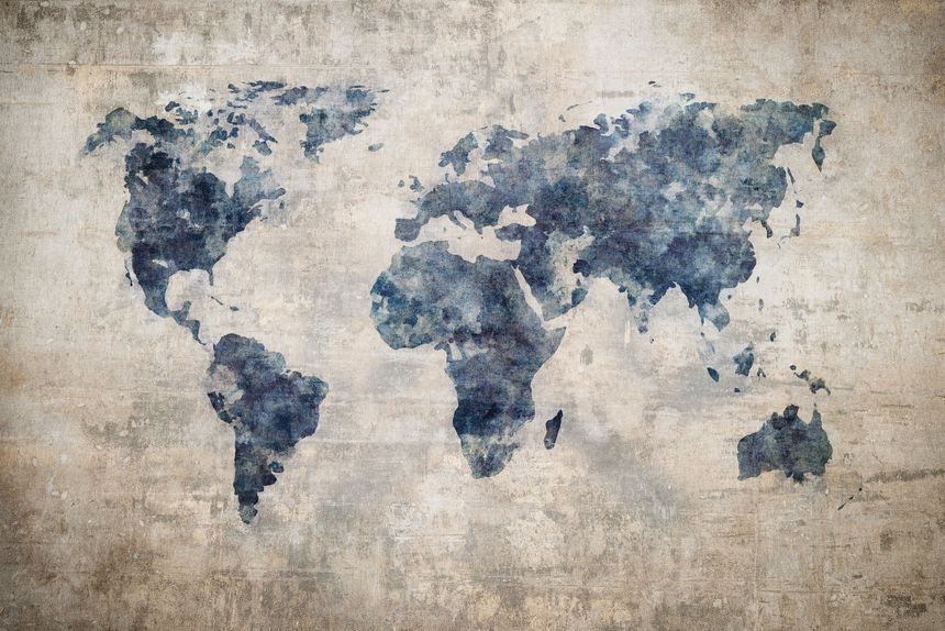
If I learned anything from Big Block of Cheese Day (anyone else watch The West Wing on repeat?) the recent move by Togo to push for a more accurate global map feels long overdue. The long-standing use of the Mercator projection has shaped how generations understand the world, despite its well-documented distortions. It exaggerates the size of regions like Europe and North America while significantly shrinking continents closer to the equator, including Africa. In reality, Africa is vastly larger than it appears, nearly 14 times the size of Greenland, yet that truth is rarely reflected in the maps most of us grew up with.
I’ve always been fascinated by the different arguments for using particular map projections, and how those choices subtly influence how we see the world. Maps feel objective, but they are anything but. They are interpretations, shaped by purpose, history, and sometimes power. A navigation tool from the 16th century has quietly influenced modern perceptions of geography, economics, and even importance.
That is why this initiative matters. Togo’s call to adopt projections like Equal Earth is not just about cartographic accuracy. It is about representation, perspective, and correcting a narrative that has been visually reinforced for centuries. When we change the way the world is drawn, we also begin to change how it is understood.
/Passle/60211dc9e5416a0c14bc63d4/SearchServiceImages/2026-07-02-13-02-25-566-6a4661617f0dd7c3086e38e6.jpg)
/Passle/60211dc9e5416a0c14bc63d4/SearchServiceImages/2026-07-06-18-26-43-452-6a4bf363580700aefa99db08.jpg)
/Passle/60211dc9e5416a0c14bc63d4/SearchServiceImages/2026-07-06-10-57-31-584-6a4b8a1b3b439f10a9a5d3b9.jpg)
/Passle/60211dc9e5416a0c14bc63d4/SearchServiceImages/2026-07-02-19-35-31-809-6a46bd83464e90d57f61a16d.jpg)